They call the part of Northeastern Maine up towards the Canadian border “Down East.” And it's a term applied in several different ways. In the narrowest sense, Down East refers to the coast of Maine from Penobscot Bay to the Canadian border, but it is sometimes used as a loose term for the entire eastern portion of the state. Scores, perhaps hundreds, of companies and organizations in Maine have “Down East” as part of their name.u
Down East, The Magazine of Maine explains the origin of the term in New England: “When ships sailed from Boston to ports in Maine (which were to the east of Boston), the wind was at their backs, so they were sailing downwind, hence the term ‘Down East.' And it follows that when they returned to Boston they were sailing upwind; many Mainers still speak of going ‘up to Boston,' despite the fact that the city lies approximately 50 miles to the south of Maine’s southern border.”

Our Roadtrek transported Jennifer and me, son Jeff, wife Aimee and little Jovie. Daughter Wendy, her husband, Dan Bowyer, and grandaughters Hua Hua and Rachel followed in their minivan.
Jennifer and I slept in the Roadtrek, parked outside the cottage each night. There ws a big bedroom in the house that we could have taken but the house has only two bathrooms. We opted to use our Roadtrek as an en suite for us. The Roadtrek is also great to take on our excursions, with a refrigerator for lunch and snacks and a traveling bathroom for the family.

There are lots of places to camp here. Maine has numerous state parks all along the coast and there are two excellent parks at Acadia National Park, one of our favorite destinations.

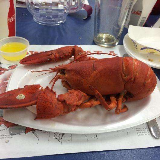
Seafood has been our meal of choice and in Maine, that means lobster. Lobster rolls for lunch, whole lobsters for dinner, along with mussels, clams and fresh haddock.
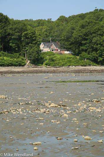
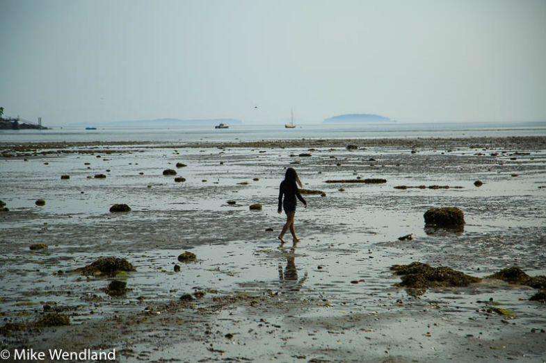
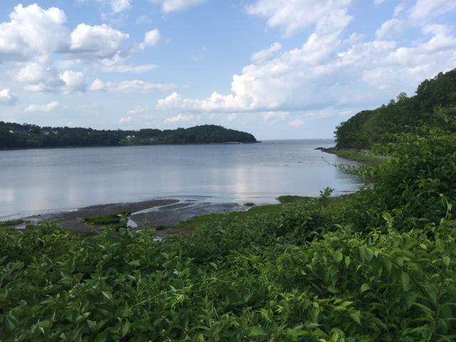
The tides along the coast are spectacular, Right in front of our house at Rockport on Clam Bay, they recede about a quarter mile. We explore every inch, walking out as far as we can, watching little hermit crabs scurry across the wet sand in search of a small tidepool to hide until the tide comes in again. The grandaughters love searching for shells, sea glass and other treasures of the ocean.
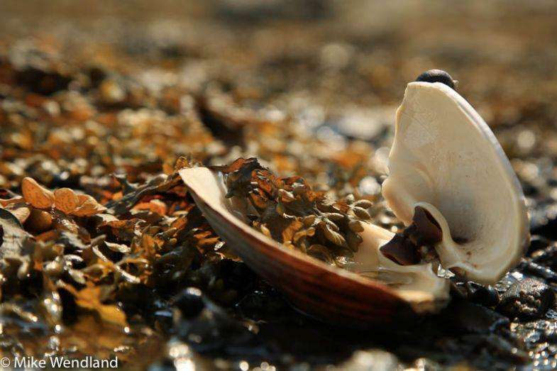
As the tide recedes, herring gulls move in, finding clams and mussels that they quickly grab. Holding them in their beaks, they take them close to 100 feet high. They drop them over rocks and then swoop back down to dig out the critters that are inside the now cracked shells.
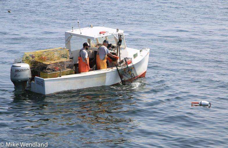
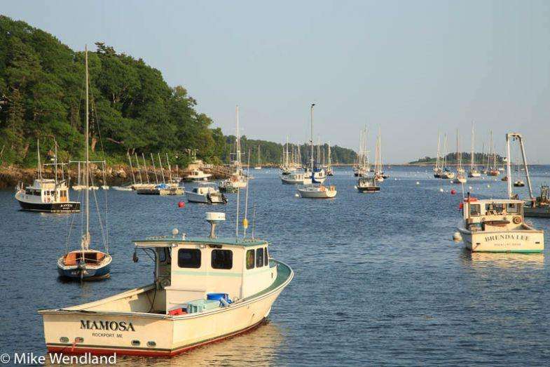
Highway 1 links the Maine coastal towns, almost every one having a beautiful little harbor. We love just sitting along the waterfront, watching the lobster boats come in.
One of our favorite walks was the breakwall that leads to a lightbouse in Rockland. It's 7/8 of a mile out. When you look at it, you'd think that the lighthouse was built first and the breakwater later, to connect it to the mainland. It was just the opposite. First came the breakwall, built over two decades from 1881 and 1899 to protect the town from devastating storms which seemed to cause massive damage to the harbor on a regular basis. The lightbouse was then built to keep boats from running into the wall.
The walk there is an adventure. Don't be texting and walking! You are walking on mammoth granite blocks that were cut precisely to fit and were placed end-to-end in water up to 70 feet deep. However, that fit has been altered by time and the pounding of the waves. Over the years, the blocks have settled and shifted and there are lots of cracks and gaping holes that could trip a distracted walker.

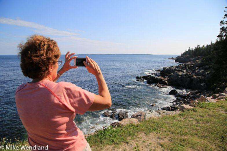
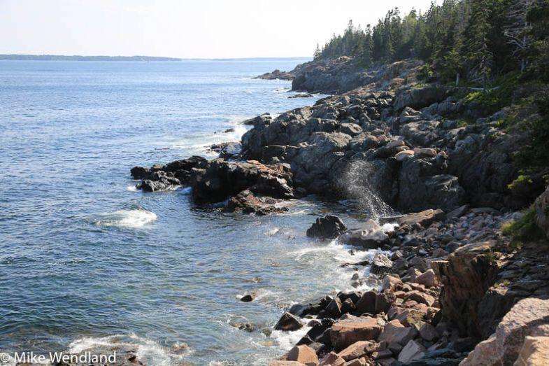
Here's some more photos showing some of of the highlights and our favorite places along the coast.


Comments are closed.


